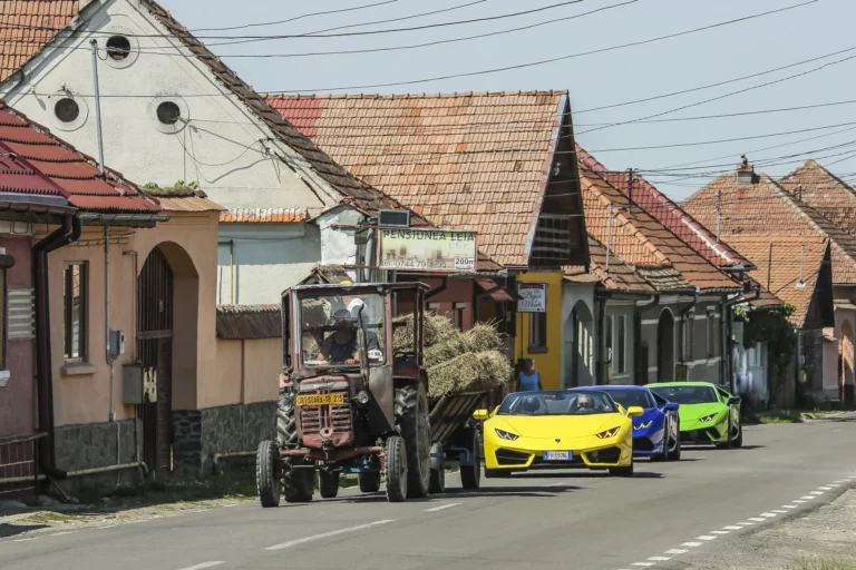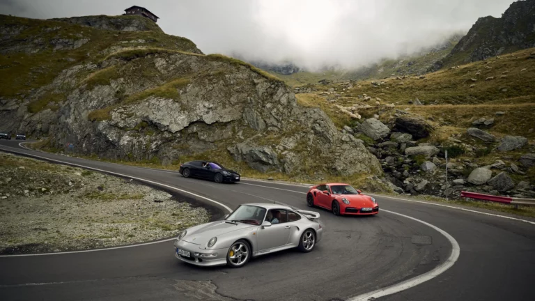
The Transfăgărășan is one of Europe’s most dramatic mountain roads, climbing through Romania’s Carpathians in a sequence of sweeping curves and tight hairpins. Built across challenging terrain, it is as compelling for its engineering as for its scenery. Seasonal access and mountain weather shape the experience, making preparation and respect essential to the journey.
Climate
Best time to visit · Jul–Aug
Temperature High / low °C
Daylight Hours a day
Rainfall 1,083 mm a year
Monthly averages for Transfăgărășan, 1991–2020.
Best time to visit: when clear, rainless days between 18 and 27 °C are likeliest.
Generated using Copernicus Climate Change Service information 2026 (CC BY 4.0).
Neither the European Commission nor ECMWF is responsible for any use that may be made of the Copernicus information or data it contains.
| Month | High °C | Low °C | Rainfall mm | Rainy days | Daylight h |
|---|---|---|---|---|---|
| January | 0° | −8° | 54 | 12 | 9.2 |
| February | 2° | −7° | 53 | 12 | 10.4 |
| March | 5° | −3° | 70 | 14 | 11.9 |
| April | 11° | 2° | 100 | 16 | 13.6 |
| May | 16° | 7° | 135 | 19 | 14.9 |
| June | 20° | 11° | 154 | 18 | 15.6 |
| July | 21° | 13° | 130 | 17 | 15.3 |
| August | 22° | 13° | 111 | 14 | 14.1 |
| September | 17° | 9° | 88 | 12 | 12.5 |
| October | 12° | 4° | 70 | 10 | 10.9 |
| November | 7° | −1° | 58 | 11 | 9.5 |
| December | 1° | −6° | 59 | 12 | 8.8 |